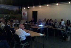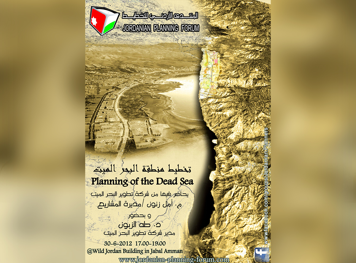
In June 2012, the Jordanian Planning Forum held its monthly event, titled “Saturday Forum,” focusing on the comprehensive plan for the Dead Sea Development Area. The event was opened by the Vice President of the Forum, Engineer Kamal Jalouqa, who welcomed the attendees and provided an overview of the forum. The forum was established to serve as a meeting point for planners, where each month, a developmental planning project from Jordan is discussed. The entity responsible for the project is invited to present, followed by a specialized dialogue among interested parties.
Dr. Taha Al-Zaboun, General Manager of the Jordan Development Zones Company, explained the institutional framework under which the company operates. Since May 2009, the company has been responsible for managing the development zone as the principal developer under the umbrella of the Development Zones Commission and Free Zones Authority.
Dr. Al-Zaboun added that the comprehensive plan, launched after extensive studies in July 2011, focuses on creating a series of investment areas or neighborhoods. There are 12 neighborhoods with vital centers of sizes proportionate to their respective areas, preserving the natural and economic features of the region. These neighborhoods are interconnected by major transportation arteries, primarily the Dead Sea Road, which has been developed into an attractive coastal road for tourists and vacationers. The comprehensive plan also includes a transportation strategy to provide public transport services within the Dead Sea area and connections to Amman, the airport, and other locations, ensuring easy mobility for visitors, residents, and workers in the area. Additionally, the comprehensive plan’s diverse investment areas open new opportunities for investments, ranging from domestic and international tourism uses such as hotels and public and private beaches to supporting uses like training and service centers.
He further stated that the significance of the comprehensive plan for the Dead Sea area lies in establishing a strategic approach for the present and future of the Dead Sea region. This approach ensures the preservation of its unique environmental and historical features that distinguish it globally. The comprehensive plan includes a structural developmental plan for the Suwayma area, aiming to create a central service hub supporting the development zone with public services such as bus stations, central laundries and bakeries, housing for tourism sector workers, and residential expansion accompanying the region’s development. Additionally, a hotel training institute is proposed to train local staff and integrate them into existing and future investment projects.
Environmentally, the comprehensive plan emphasized unifying environmentally significant sites within a defined system. A practical and scheduled program will be developed to protect these sites, with programs and mechanisms to enhance their role as a vital contributor to the visitor and resident experience in the area, in coordination with various relevant specialized entities.
The comprehensive plan was prepared by utilizing all previous studies conducted for this area. Adopting a consultative approach, the Jordan Development Zones Company, in collaboration with the Development Zones and Free Zones Authority, held a series of consultative sessions with various relevant entities to gather diverse perspectives on the proposed initial comprehensive plan. The consultation process is a fundamental aspect of planning to ensure the proposed plan meets different requirements and aligns with the natural characteristics and resources of the area.
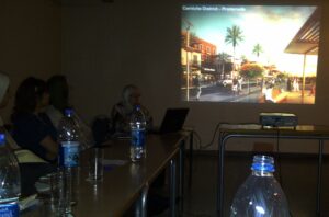
Following this, the Projects and Infrastructure Manager at the company, Engineer Amal Zanoun, provided a detailed presentation on the comprehensive plan. Engineer Zanoun discussed the stages through which the comprehensive plan for the Dead Sea Development Area was developed and mentioned the consortium that won the tender, led by Sasaki Associates, with participation from international and local engineering offices. She explained that the study focused on an area of 40 square kilometers, stretching from Suwayma village in the north to the southern Zara area. The challenges faced by the planners were highlighted, including the geographical nature of some areas and the limited space necessitating the provision of necessary areas for all developmental requirements.
During the lecture, there were interventions from the attendees, starting with the forum’s President, Dr. Murad Al-Kalaldeh, who referred to the land use plan for the northern area. He pointed out the area where the Jordan River meets the Dead Sea, which might correspond to the verses from Surah Ar-Rahman (19-20), indicating the confluence of fresh and salty water. This area holds significant importance for Christians, as depicted in the mosaic map in the Church of Saint George in Madaba, showing fish swimming against the river’s flow, sensing the approach of salty water. Dr. Al-Kalaldeh wished that this idea had been emphasized to enhance the historical importance of the area, making it an important tourist destination for visitors worldwide.
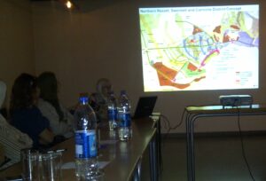
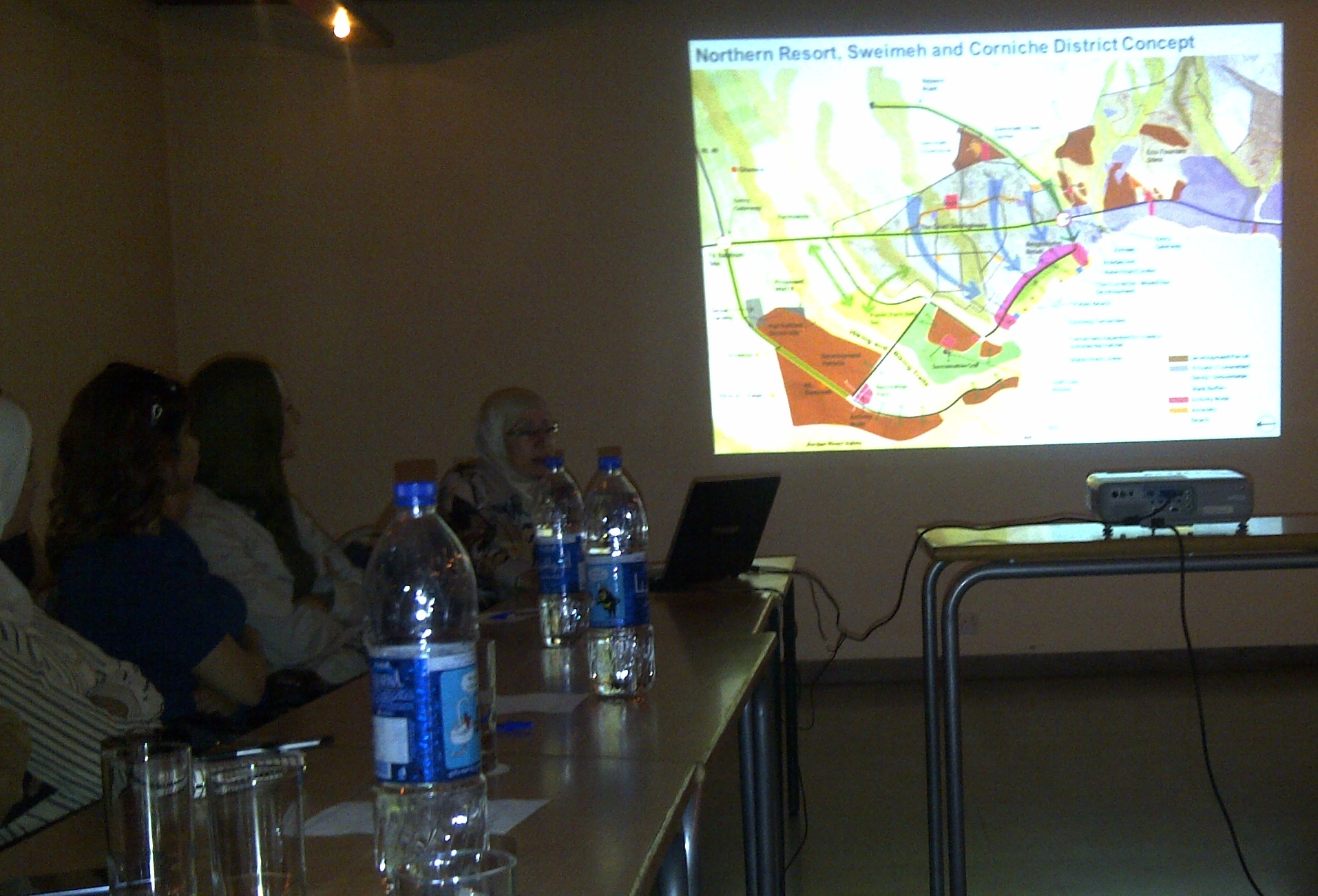
Engineer Zanoun continued her explanation of the comprehensive plan, which can be likened to a necklace, dividing the coastal areas into zones with various activities. For instance, the Corniche area near Suwayma offers a seaside promenade adjacent to an ecological park aimed at preserving biodiversity. This park will be managed in collaboration with the Royal Society for the Conservation of Nature, providing citizens with a place for year-round leisure and relaxation with their families.
Urban Planning Professor at Jordan University of Science and Technology, Dr. Atef Nasir, emphasized the need for a balance between areas designated for investment and those for public use, advocating for greater access to the sea without passing through closed areas allocated for luxury hotels. Engineer Bahaa Marji highlighted the low percentage of areas designated for residential use, particularly in the border area, and called for an increase. He also suggested avoiding the fragmentation of the area into small scattered units. Dr. Al-Zaboun responded that the goal is not to increase population density but to promote the area for investment and extend tourists’ stay, which currently averages two days, posing a significant challenge. Engineer Kamal Jalouqa commented that this pioneering idea brings the tourist product closer to Jordanian citizens, allowing them to enjoy their country’s attractions at a reasonable cost.
Dr. Nabil Abu Dia noted that the presentation showed significant efforts in preparing the comprehensive plan, thanking those involved for their substantial efforts in completing this important national project.
The forum’s President welcomed Dr. Najib Abu Karaki, a professor of geophysics and seismology at the University of Jordan, asking him to comment on the comprehensive plan from a geological perspective. Given the area’s uniqueness as the lowest point on earth and its ongoing water level decline, Dr. Abu Karaki gave a brief presentation on studies conducted by his specialized team. He indicated evidence of sinkhole formation, particularly in the Ghor Haditha area, which began increasing in various regions and led to the collapse of Potash Dam No. 19 in 1999, resulting in the loss of 55 million cubic meters of water and substantial financial losses for the company. Using GIS-documented images and historical sequences, Dr. Abu Karaki showed that the phenomenon is increasing, necessitating attention and consideration. Dr. Al-Zaboun emphasized the need to meet again with Dr. Abu Karaki to review his study in detail. Engineer Amal Zanoun responded that the land use plan, on which the comprehensive plan is based, had considered this issue by using studies identifying potential danger zones in the Ghor Haditha area.
In concluding the Saturday Forum, the session’s chairman thanked the attendees for their valuable contributions to enriching the discussion, hoping that the project stakeholders would consider the observations to improve the quality of the comprehensive plan for the Dead Sea area—one of Jordan’s and the world’s treasures.